


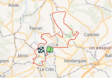


18.6 km | 21 km-effort

User


FREE GPS app for hiking
 SityTrail
IGN / Geographical institutes
SityTrail World
The world is yours!
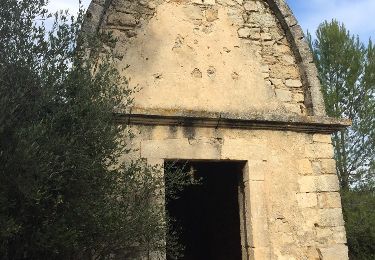
Trail Mountain bike of 21 km to be discovered at Occitania, Hérault, Le Crès. This trail is proposed by tracegps.
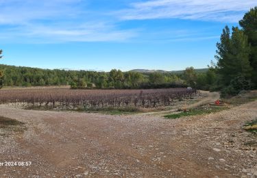
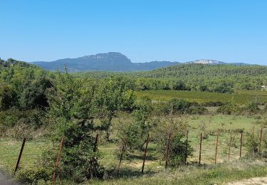
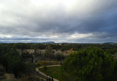
Parcours entre Le Crès, Castries, Teyrans, Jacou, en pleine garrigue, très peu de bitume et des chemins caillouteux. Une difficulté à mi parcours, le long du Lien, un chemin assez difficile pour le VTT sur 200 m environ. Pour les marcheurs, seule la distance présente des difficultés. Une balade en pleine nature avec à l'arrivée un passage autour du lac du Crès. Une option pour éviter la difficulté majeure, à 43'41'44.50N 3'57'01.89E tourner à droite à 3'41'32.28N 3'57'06.79E tourner à droite à 43'41'26.90N 3'57'03.77E chemin de droite à la bifurcation 43'41'28.40N 3'56'53.72E retrouvez le tracé original. Méfiez vous de ne pas vous engager après de grosses pluies, certains lits pourraient couler et couper le circuit.


Mountain bike

Walking
Horseback riding
Walking

On foot
Walking
Walking